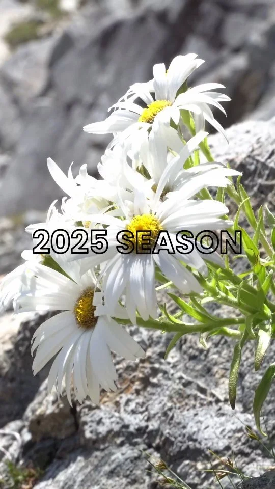
Lukas & Kim

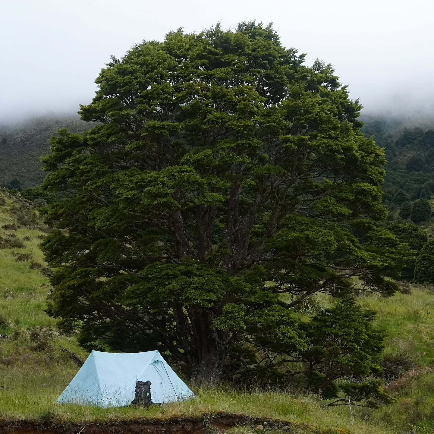
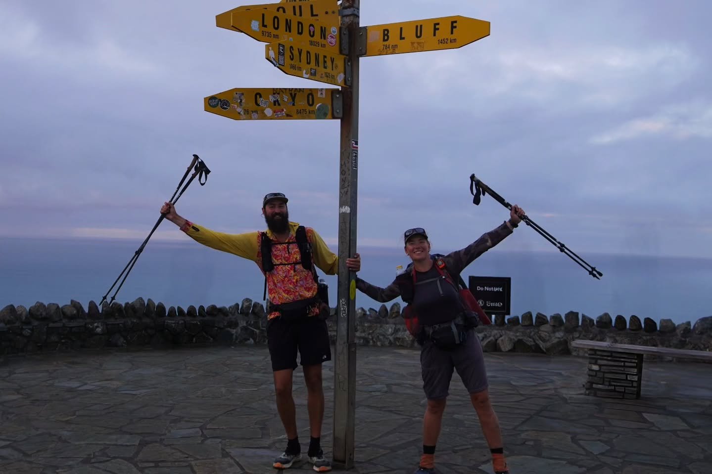
Te Araroa: Completed
Click on the button down below to go to the collection page of our Te Araroa-hike (New Zeeland Thruhike).
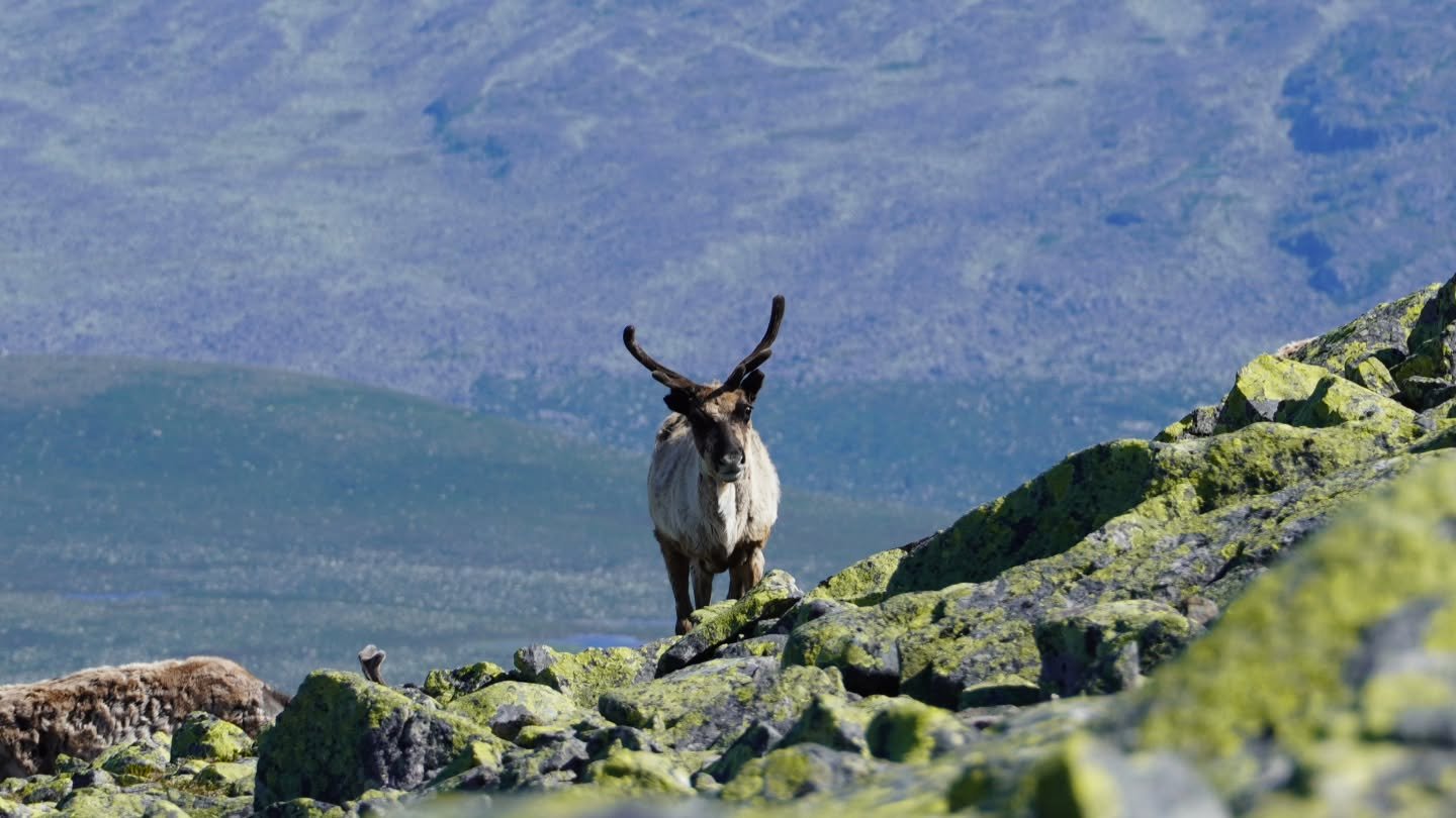
Our blog
Click down below to read our blog.

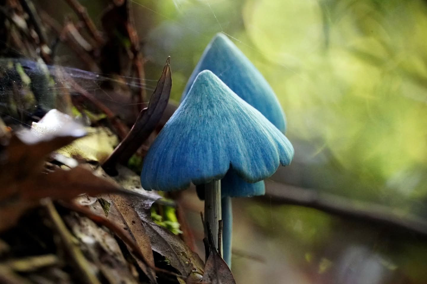
Tips & Advice
Down below you can find our best tips, advices, guides, lists etc, all together.