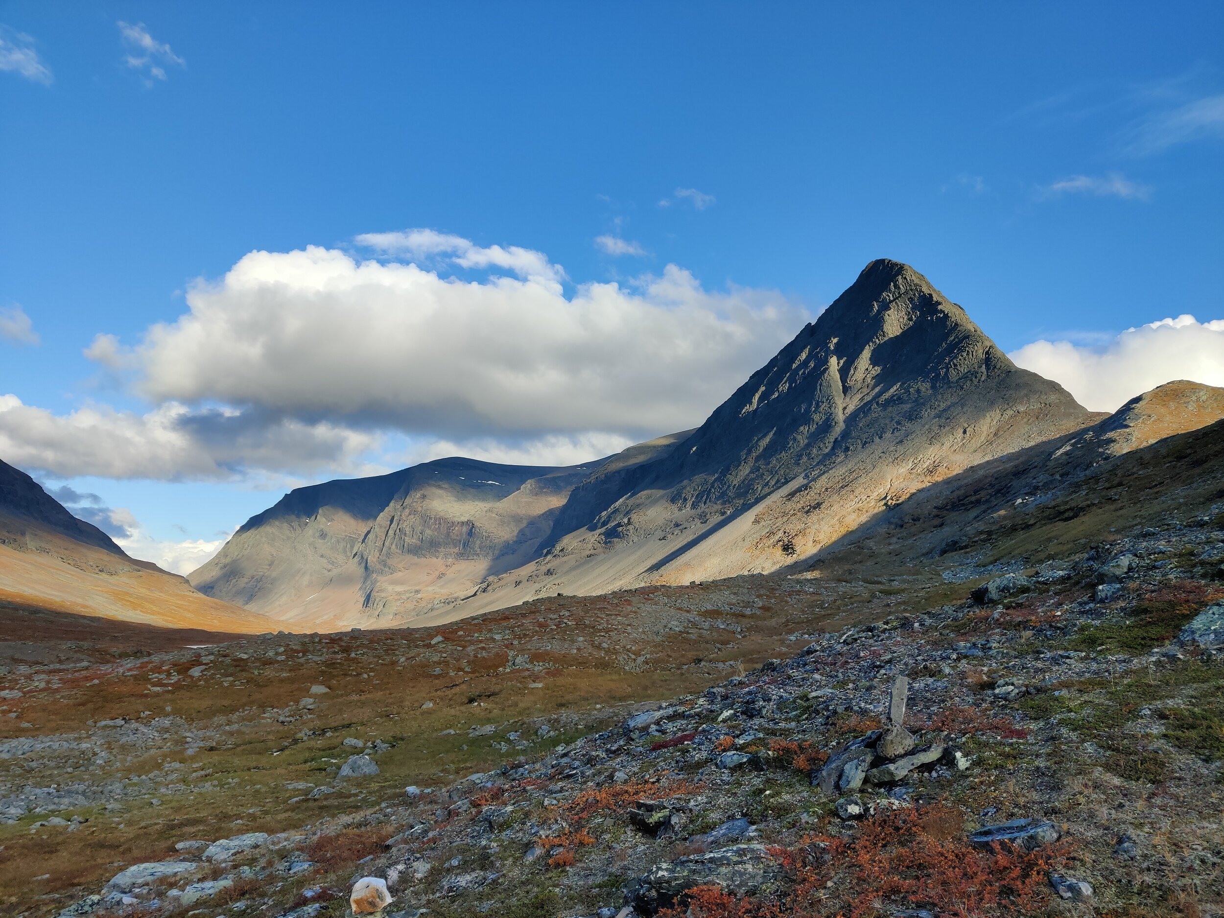
Thruhiking Sweden / Treriksröset-Smygehuk (2021)
On this page we have shared links and information related to Kim’s hike through Sweden. From Sweden’s Nothernmost point Treriksröset, to Sweden’s Southernmost point Smygehuk. Mostly along the Via Suecia Trail. The first half, from Treriksröset to Grövelsjön, she hiked together with Lukas, doing the Gröna Bandet together. You can read more about that here.
Links:
Kim’s packing list - when reaching Smygehuk.
Blog posts - All the blogs from the hike.
Route - How Kim walked. Google Sheets file with dates, distances and locations.
Planned route (GPX-file)
GPX-files of the route - All GPX-files of how we walked can be found and downloaded here.
Budget
By using the filter view, you can also filter out anything of interest among all the different expenses 😊
”Data” - “Filter view” - “Create new temporary filter view”. Filter on anything named TS for expenses relating only to the part south of Grövelsjön where Kim hiked alone.
Maps of how I walked:
Map for all of Sweden hopefully to be available at some point…
In the meantime, our track on Utsidan can be found here.
For everything north of Grövelsjön, see the page about Gröna Bandet!
On this link you can see where Kim was!
How to use:
Click on the arrow beside “Map Filters (On)”.
Under “Date & Time Range:” choose “Custom Date Range”. Press “Edit”. Set “From Date” to 10 July 2021 00:00 and “To Date” to 31 October 2021 00:00. Press “Done”.
Now you should see the route for the entire hike 😊

